Seabed survey
- Scope
- The selected 1,152 × 816 m area around the structure.
- Required evidence
- Bathymetry, side-scan and a comparison with the earlier survey.
- Linked finding
- Profile at the structure ↗323 m cross-cut · Pre / post-construction

We built Contour to keep assignments, mission recordings, surveys, findings and deliveries together. Each visit adds to the site’s record.
Explore the site record ↓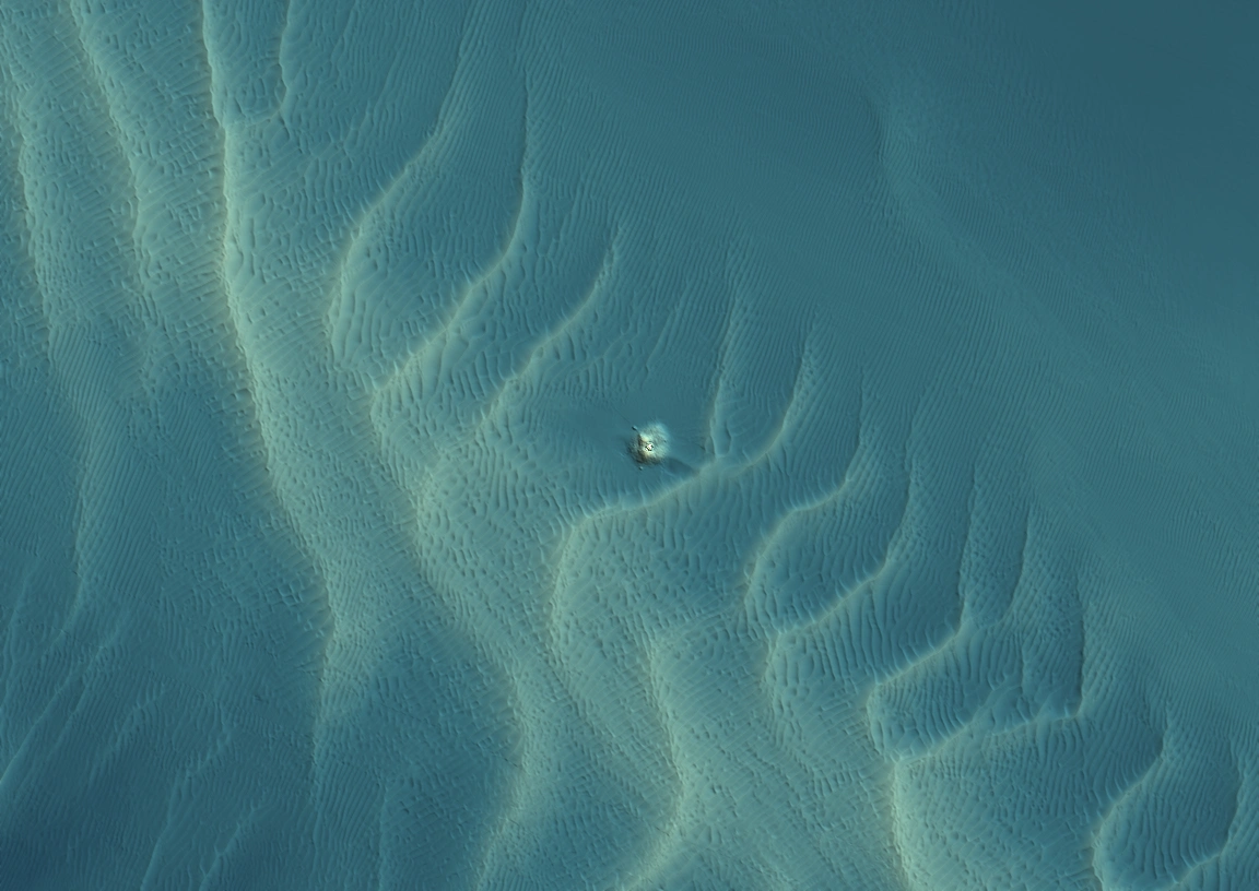 Post-construction · MBES · 1,152 × 816 m
Two surveys of the same area.
The source data stays with each visit.
Compare the seabed profile through the structure between surveys.
Grid measurements. Survey uncertainty has not been assessed.
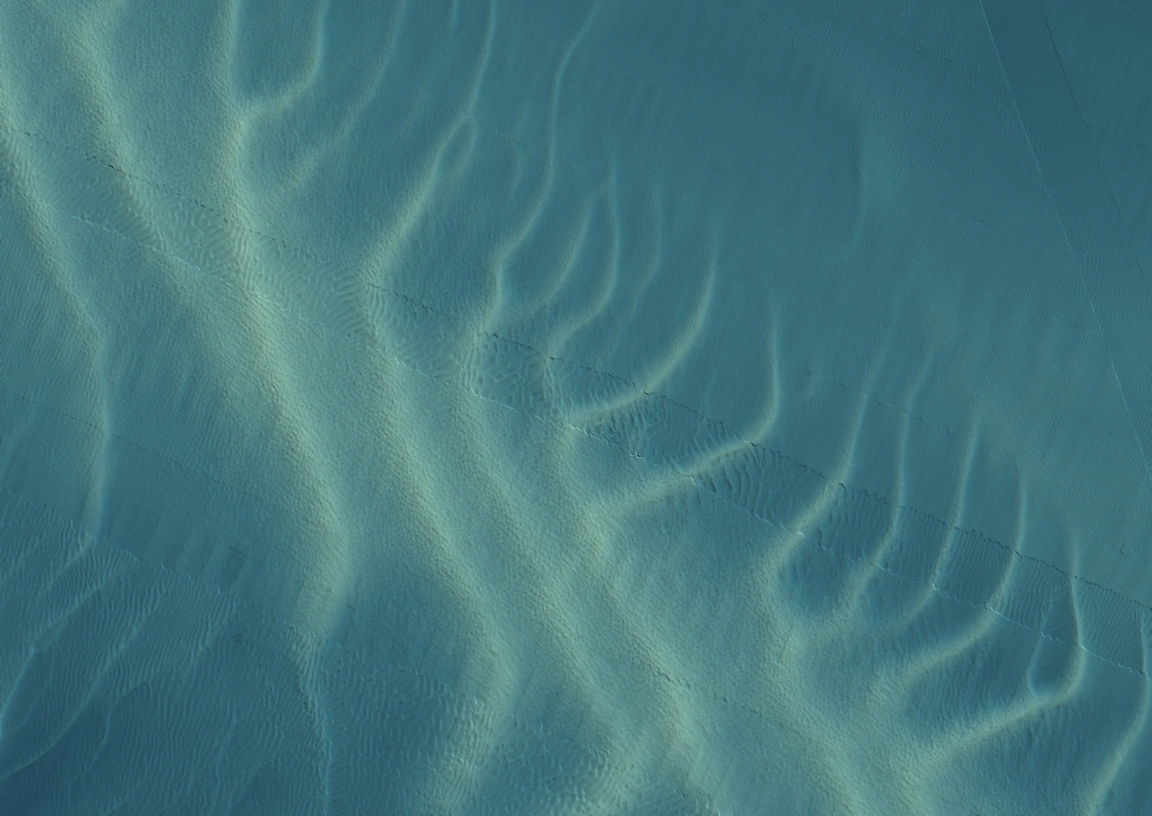
All four views show the same 1,152 × 816 m footprint, using the delivered survey coordinates. MBES uses numerical 1 m depth grids from Pre-construction and Post-construction, with a shared palette and lighting. Unsurveyed cells remain empty.
Both side-scan views use actual georeferenced survey mosaics: 1 m in Pre-construction and 0.5 m in Post-construction. Amber and display contrast are applied to reveal texture. Sonar brightness is not calibrated between surveys and is not a measurement of change.
Survey source: Emu / Fugro via Marine Data Exchange. Demonstration using published surveys. Pre-construction source ↗ · Post-construction source ↗
Return to the exact location and measurement behind a finding.
Pre / post-construction / LAT / 1 M GRIDThe Post-construction profile shows a raised feature at the structure.
What explains the profile difference at the structure?
Illustrative note.Demo record.
The scope defines what is needed. Findings retain the evidence. The delivery records exactly what was handed over.
A delivery identifies the exact products and revisions handed over. Later edits do not rewrite that record.
Keep a snapshot of the current evidence and review question. Further edits leave that snapshot unchanged.
Snapshots stay in this tab until it is closed or reloaded.
What explains the profile difference at the structure?
A new request can refer back to the finding and survey that prompted it.
Open the linked evidence ↗Tell us the site and what you need to know.
Discuss a project ↗