

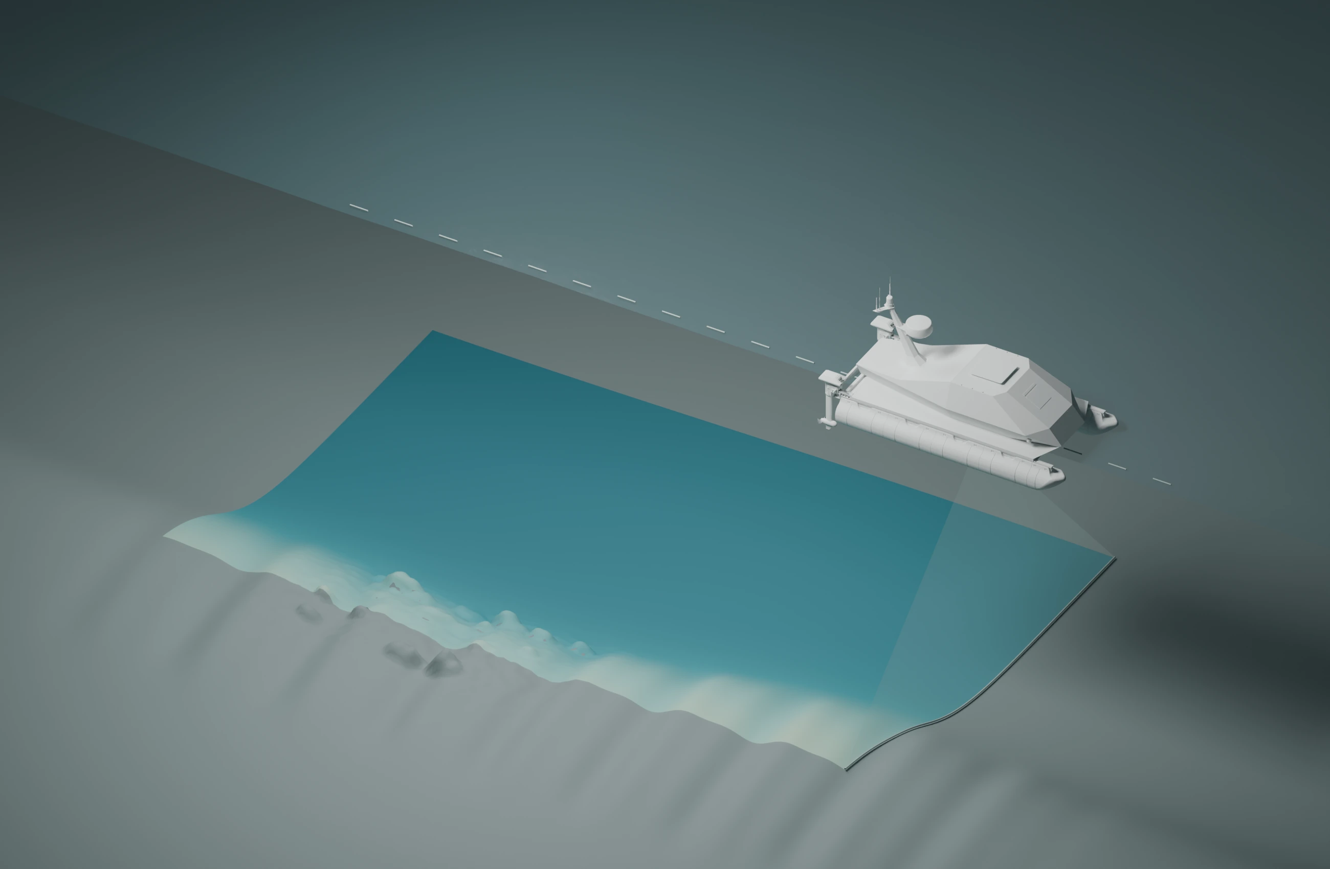


The mission stays
with the site.
Survey data, inspection imagery and mission history, organized in Contour, the software we built for marine work.
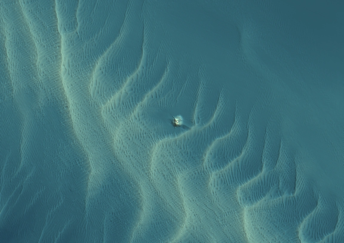
 Pre-constructionPost-construction
Same area. Two visits.
Sources
Third-party survey demonstration. Surveys by Emu and Fugro, published through The Crown Estate’s Marine Data Exchange. This example shows repeat survey data; it is not a Standard Subsea field assignment.
Pre-construction survey ↗Post-construction survey ↗Tell us about
the job.
The site, the scope, and the question you need answered.
Discuss a project