
Software for
marine work.
Contour connects mission recordings, surveys and findings to the site. Each visit adds to the record.
Explore the site record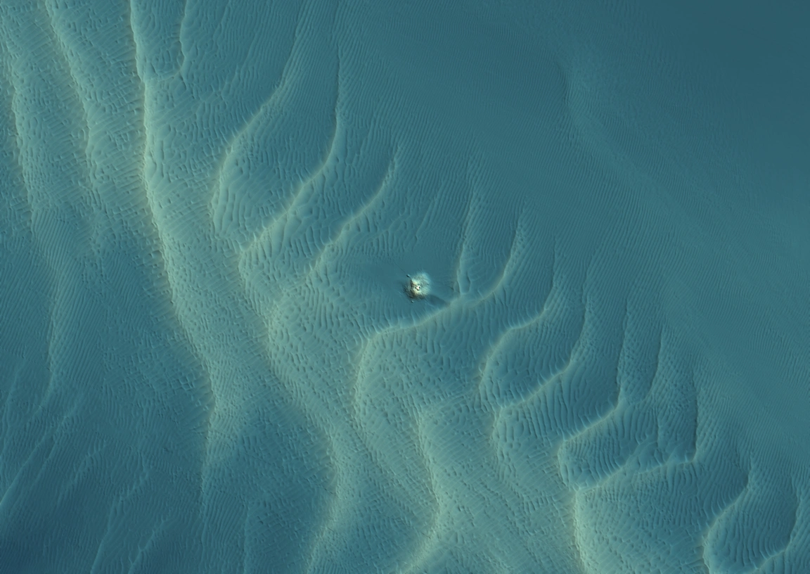 Post-construction · MBES · 1,152 × 816 m
A record of the site.
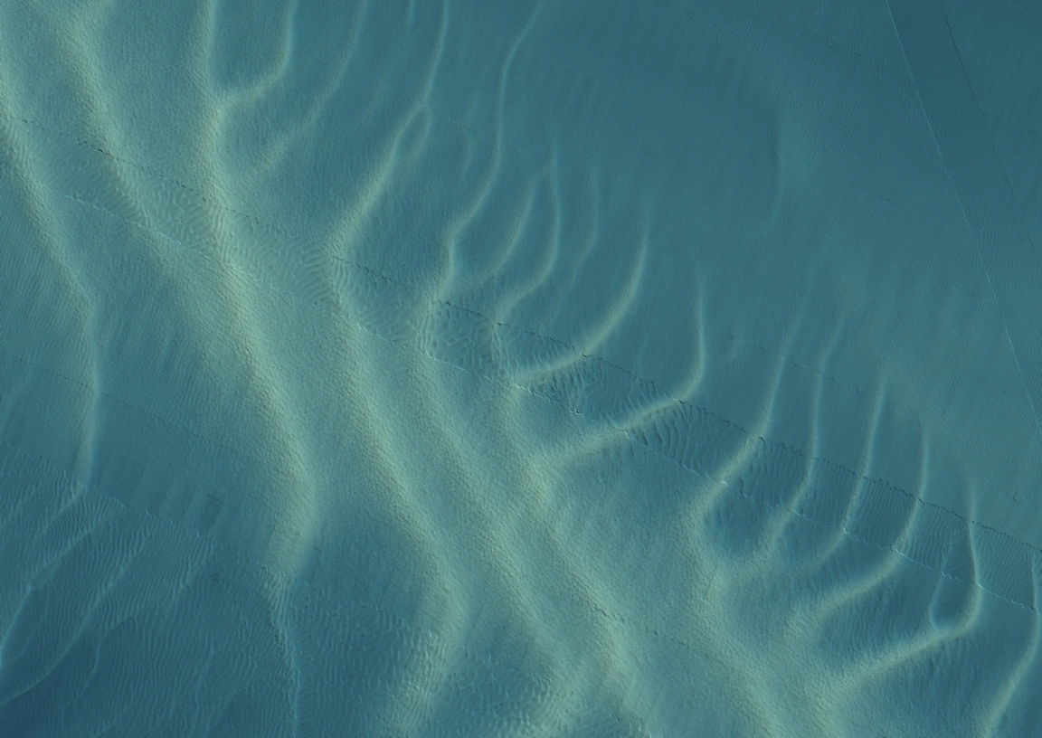
Two surveys of the same site, before and after construction. Open either visit to compare the seabed and examine the area around the structure.
Compare the surveys.
Compare the seabed profile through the structure between surveys.
200 m
Drag the divider to compare12–22 m below LAT
CROSS-CUT
PrePost
Loading survey depths…
Drag to draw a cross-cut
Survey method
All four views show the same 1,152 × 816 m footprint, using the delivered survey coordinates. MBES uses numerical 1 m depth grids from Pre-construction and Post-construction, with a shared palette and lighting. Unsurveyed cells remain empty.
Both side-scan views use actual georeferenced survey mosaics: 1 m in Pre-construction and 0.5 m in Post-construction. Amber and display contrast are applied to reveal texture. Sonar brightness is not calibrated between surveys and is not a measurement of change.
A finding, with its evidence.
The cross-cut connects the profile at the structure to its location and both surveys.
0
Profile at the structure
Depth profile
PrePost
Pre / post-constructionMBES · LAT · 1 m cells