
Survey and
underwater inspection.
Seabed maps, asset imagery and findings, linked to the mission recordings.
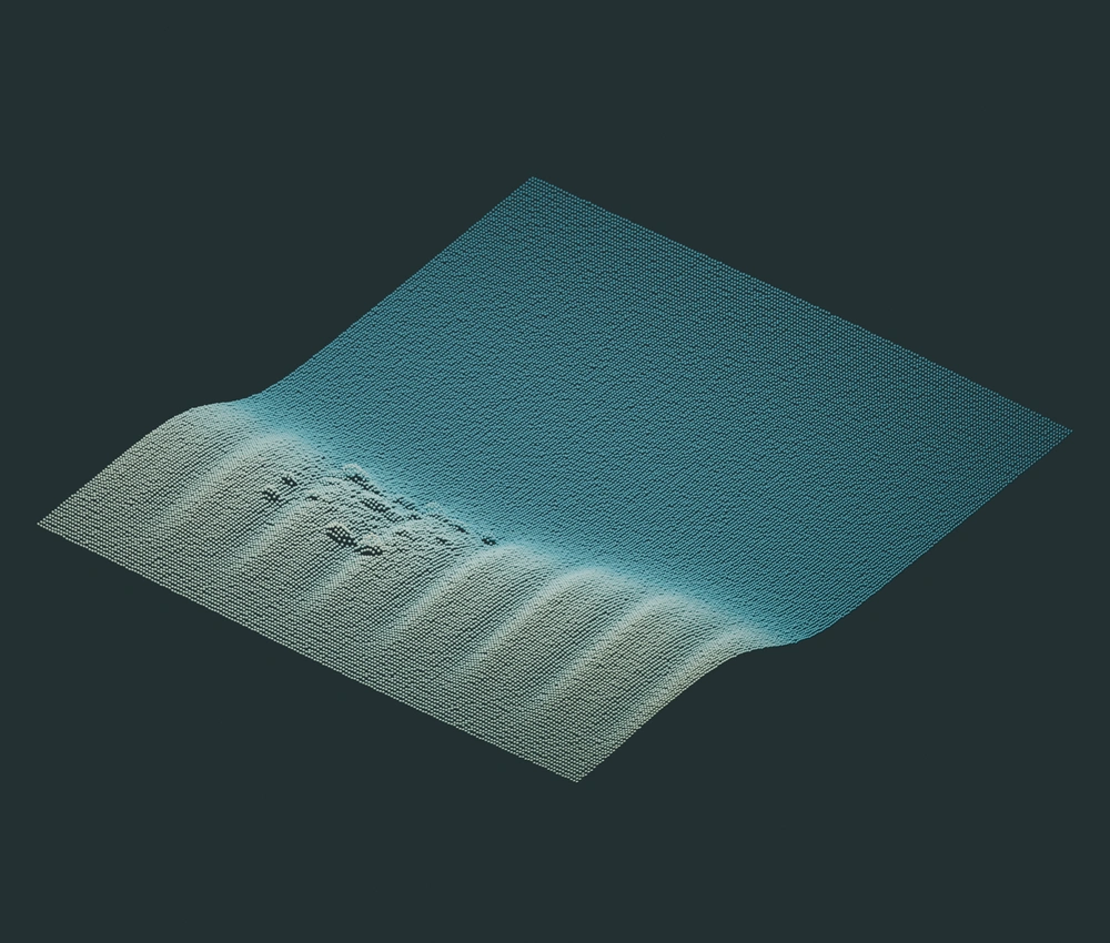
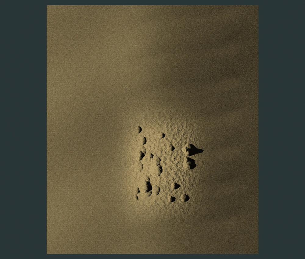
Seabed survey.
The USV surveys the worksite with multibeam and side-scan sonar to map seabed depth, texture and objects.
What you receive
- Bathymetric surfaces and soundings.
- Side-scan mosaics and contact register.
- Survey coverage and report.
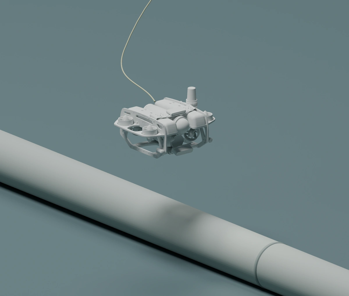
Pipeline inspection.
Follow exposed pipe with ROV cameras and imaging sonar, examining its condition and the supports and crossings along the route.
What you receive
- Video and sonar along the inspected route.
- Route-referenced observations.
- Coverage record and inspection report.
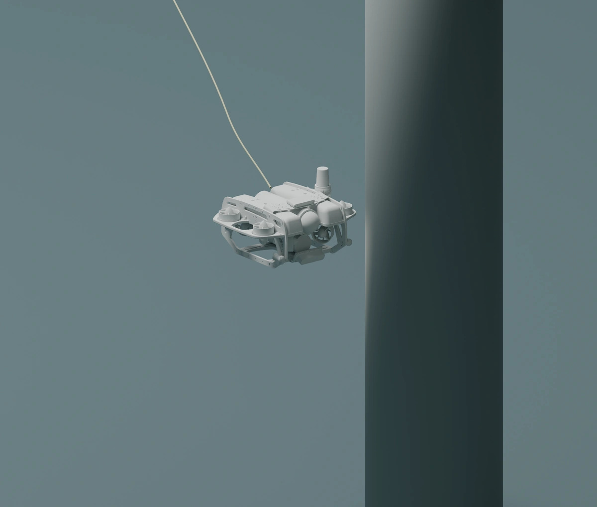
Structure inspection.
Bring ROV cameras and imaging sonar close to submerged piles, braces and connections to record their visible condition.
What you receive
- Close-up video and sonar of inspected features.
- Observations linked to locations on the structure.
- Coverage record and inspection report.
Define the work
and the deliverables.
Site & access
The survey area, asset drawings and access conditions.
Coverage & quality
The detail, coverage and accuracy the job requires.
Deliverables & timing
The data products, formats and delivery date.
The work stays with the site.
USV and ROV recordings, vehicle tracks, sensor data and observations stay connected to the mission in Contour. Review the evidence behind a finding and compare it with later visits.
Explore Contour