
Equipment at sea.
People on shore.
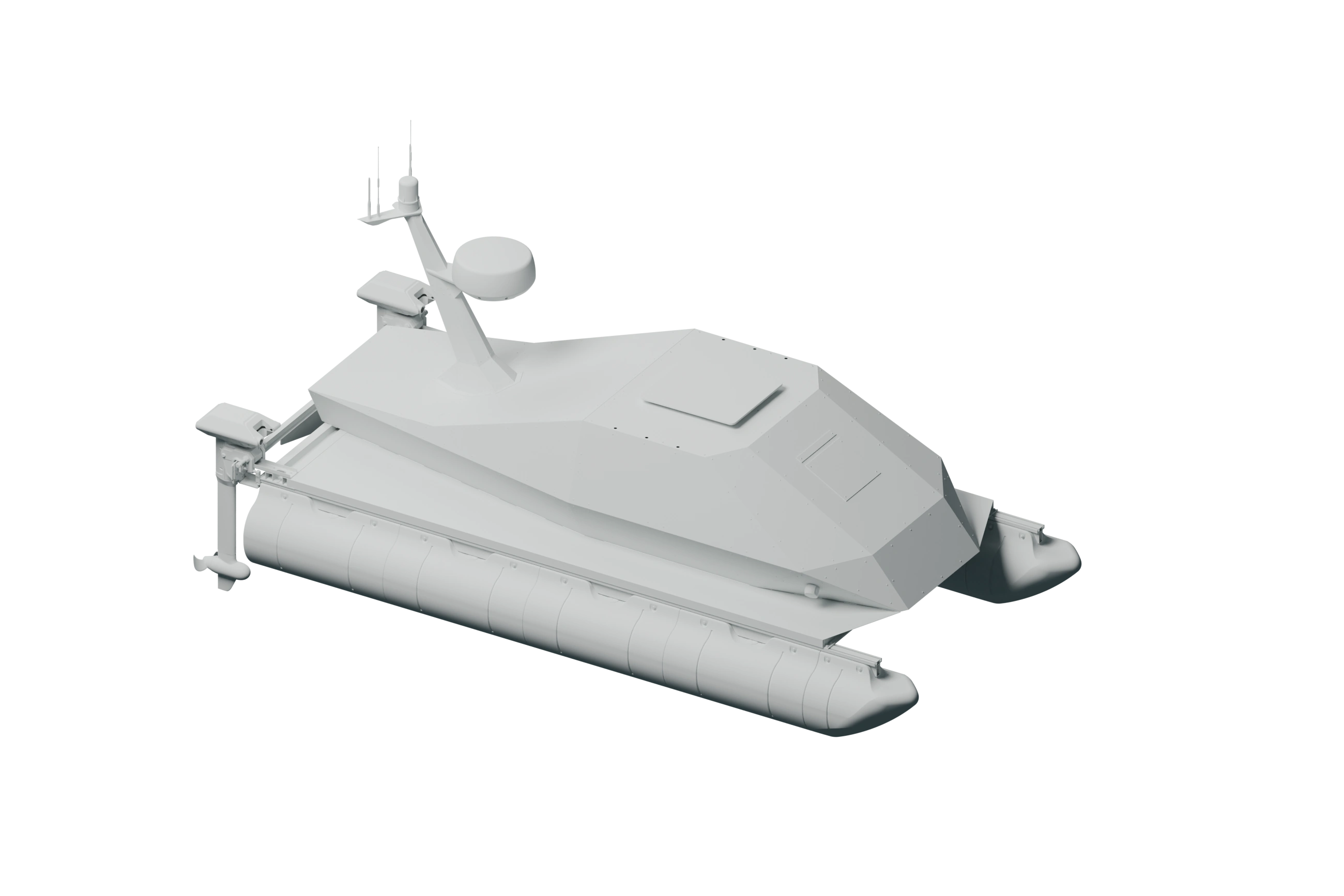
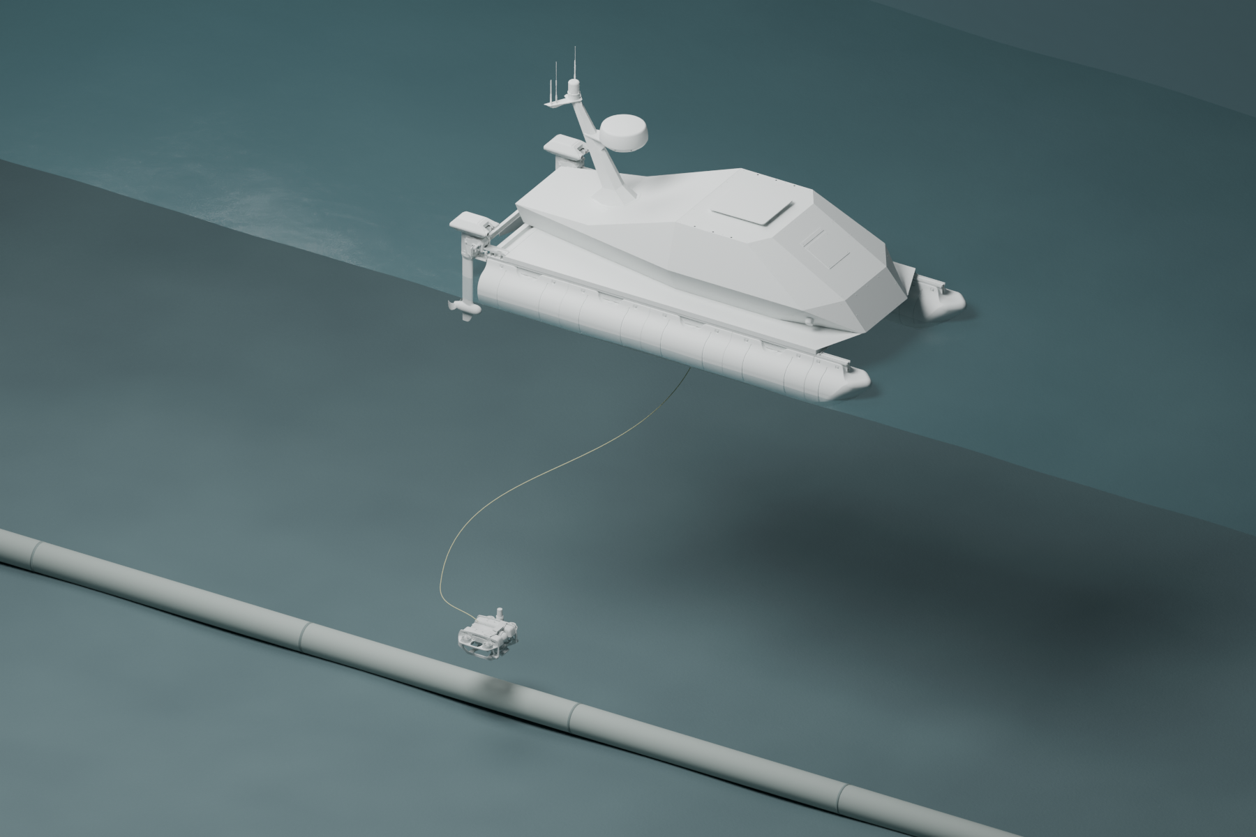
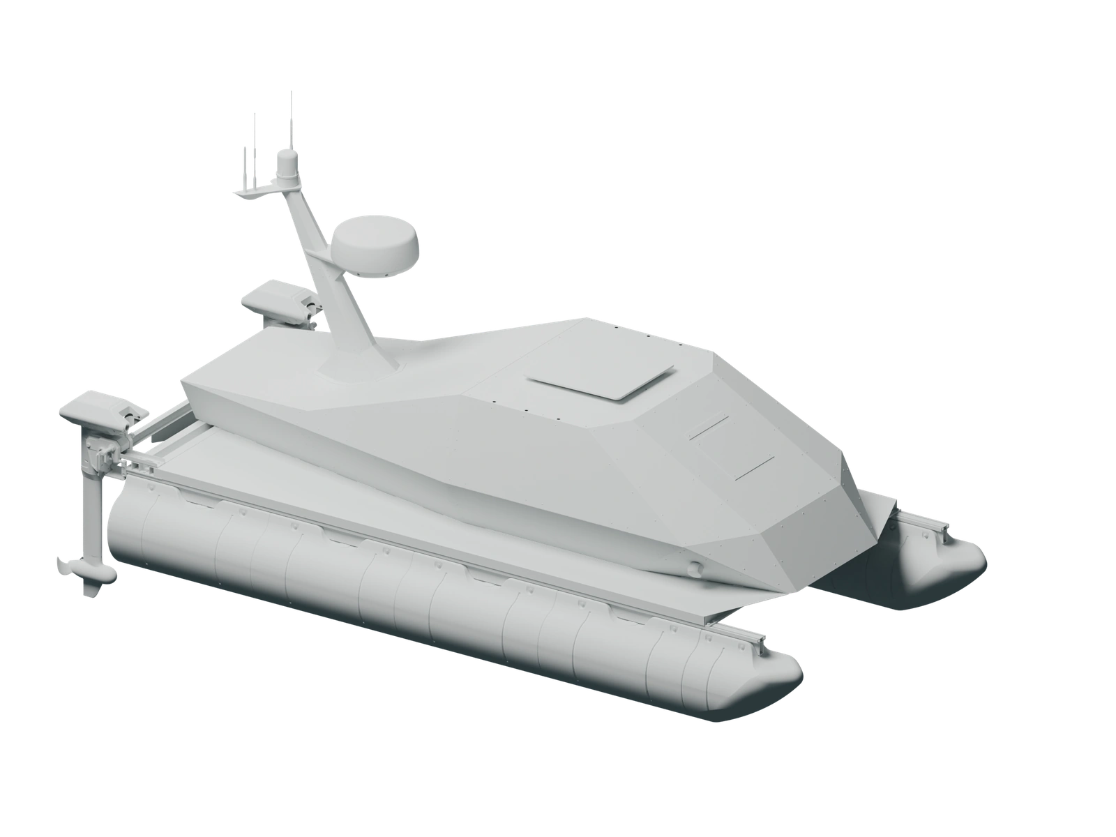
The surface vehicle carries survey sensors and deploys a tethered underwater robot. Operators direct both from shore.
Get close to the asset.
Operators guide the ROV along the asset or hold position for a closer inspection.
Explore the workSensors for the mission.
Seabed survey.
Map seabed depth and texture from the USV.
- Multibeam sonarSeabed depths and shape.
- Side-scan sonarSeabed texture, objects and acoustic shadows.
Vehicle position and mission events give the sensor recordings their context. Review them together in Contour.
Explore Contour